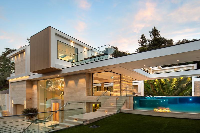
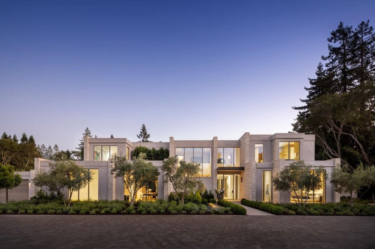
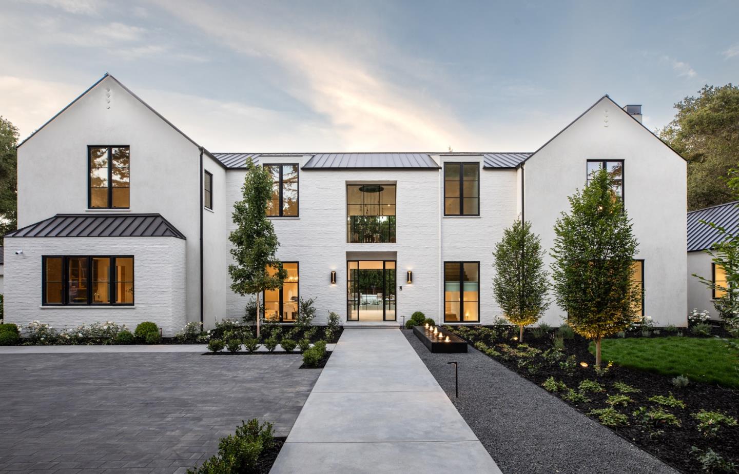
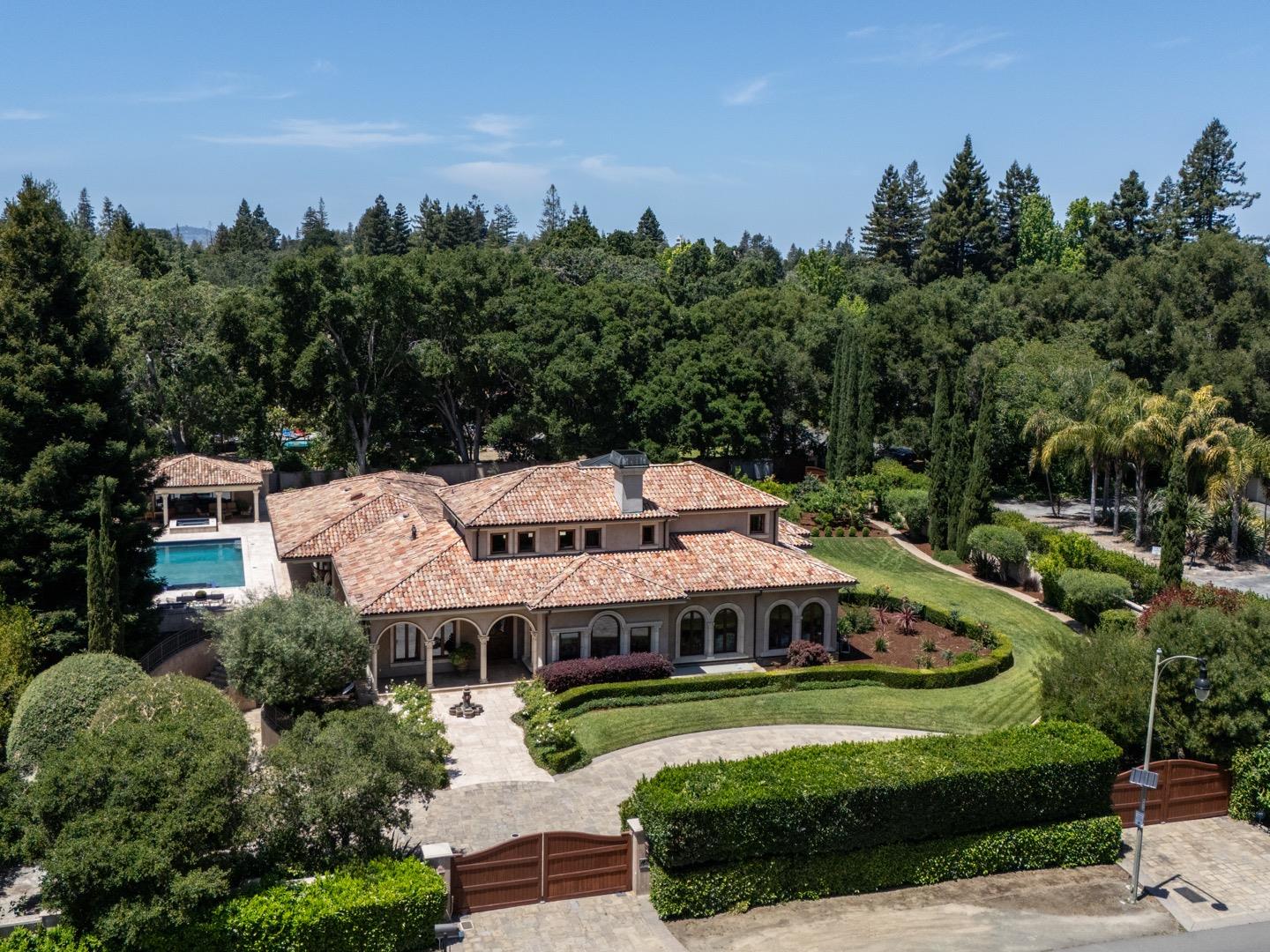
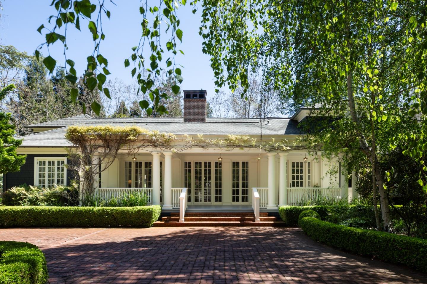
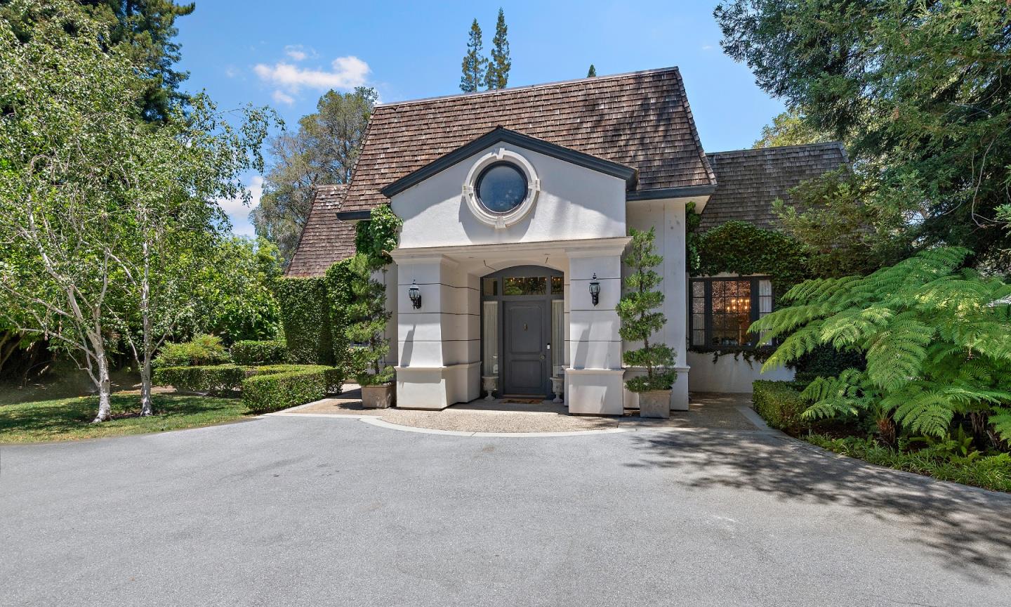
ATHERTON

One of its first rules was to ensure that lots would not be subdivided into parcels smaller than an acre.

Overview for Atherton

Atherton’s 1-acre-minimum lots attract everyone from CEOs to current and former professional athletes. Once part of a Spanish rancho, the town of Atherton was incorporated in 1923. One of its first rules was to ensure that lots would not be subdivided into parcels smaller than an acre, a rule that largely still stands. Atherton could hardly be considered the “country” these days, and yet that’s partly how the town got its start: summer retreats for wealthy San Franciscans, with the seasonal hamlet’s train depot allowing for easy travel to and from the city.
 
More than a century later, due to consistently low ridership numbers, the town of Atherton and commuter rail service Caltrain mutually agreed in late 2020 to close the station. The shuttering of rail service sees the end of an era that helped bring Atherton into being. The town routinely tops lists of the nation’s most expensive ZIP codes. Even so, the town sometimes struggles to fund public projects. In 2018, the town was able to get a $10-million property tax advance from San Mateo County to rebuild its civic center.

Atherton Neighborhoods
1. Lindenwood
2. Atherton Oaks


Overview for ATHERTON, CA

7,181 people live in ATHERTON, where the median age is 47.9 and the average individual income is $171,823. Data provided by the U.S. Census Bureau.

7,181

Total Population

47.9 years

Median Age

High

Population Density Population Density This is the number of people per square mile in a neighborhood.

$171,823

Average individual Income

Demographics and Employment Data for ATHERTON, CA

ATHERTON has 2,244 households, with an average household size of 2.92. Data provided by the U.S. Census Bureau. Here’s what the people living in ATHERTON do for work — and how long it takes them to get there. Data provided by the U.S. Census Bureau. 7,181 people call ATHERTON home. The population density is 1,431.58 and the largest age group is Data provided by the U.S. Census Bureau.

7,181

Total Population

High

Population Density Population Density This is the number of people per square mile in a neighborhood.

47.9

Median Age

49.92 / 50.08%

Men vs Women

Population by Age Group

0-9:

0-9 Years

10-17:

10-17 Years

18-24:

18-24 Years

25-64:

25-64 Years

65-74:

65-74 Years

75+:

75+ Years

Education Level

  • Less Than 9th Grade
  • High School Degree
  • Associate Degree
  • Bachelor Degree
  • Graduate Degree
2,244

Total Households

2.92

Average Household Size

$171,823

Average individual Income

Households with Children

With Children:

Without Children:

Marital Status

Married
Single
Divorced
Separated

Blue vs White Collar Workers

Blue Collar:

White Collar:

Commute Time

0 to 14 Minutes
15 to 29 Minutes
30 to 59 Minutes
60+ Minutes

Schools in ATHERTON, CA

All ()
Primary Schools ()
Middle Schools ()
High Schools ()
Mixed Schools ()
The following schools are within or nearby ATHERTON. The rating and statistics can serve as a starting point to make baseline comparisons on the right schools for your family. Data provided by the U.S. Census Bureau.
Type
Name
Category
Grades
School rating
PUBLIC
9th - 12th
5/5
Sacred Heart Schools Atherton
PRIVATE
PreK - 12th
No rating available
Encinal Elementary
PUBLIC
K - 5th
5/5
PRIVATE
6th - 12th
No rating available
PUBLIC
K - 3rd
No rating available
Adelante Selby Spanish Immersion
PUBLIC
K - 5th
2/5
Laurel Elementary
PUBLIC
K - 5th
5/5

We are Your GPS to Success Let’s Get Started

We Guide Homeowners through the complicated process of selling their home using our 4 Phase Selling Process and 3 Prong Marketing Strategy that alleviates their stress and moves them effortlessly to their next destination. Schedule a 15 Minute Complimentary Strategy Session Today

Follow Us On Instagram